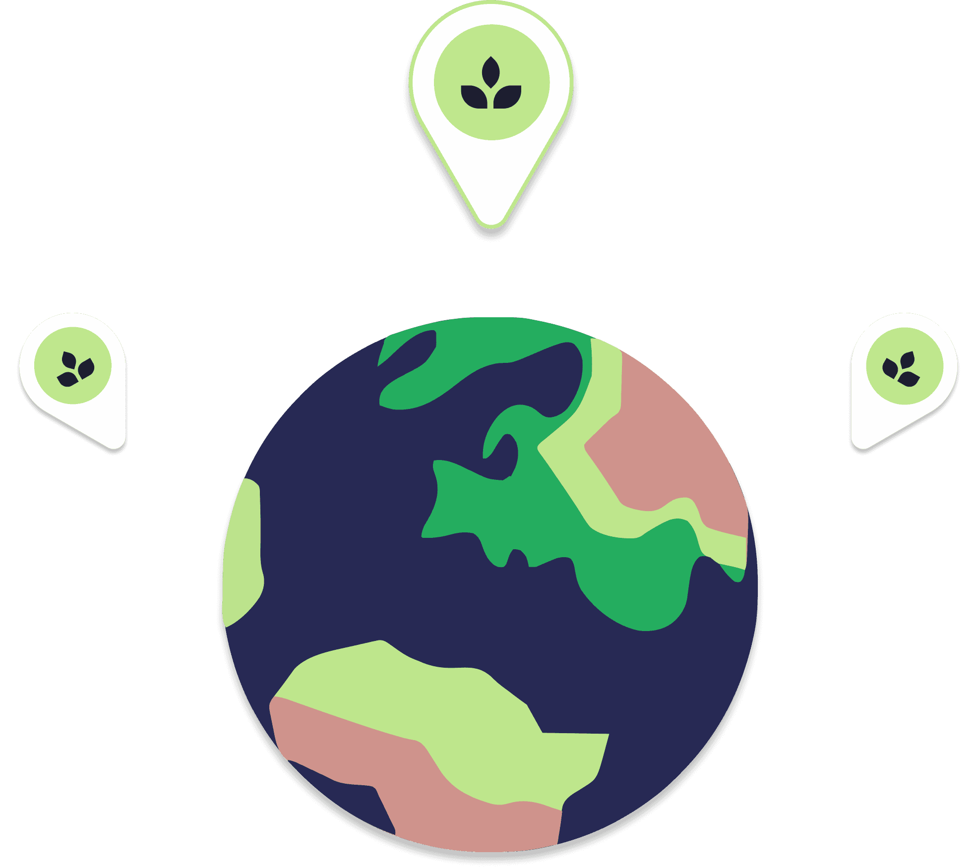
The following picture shows the area where MARVIC test cases will be deployed. We are building an interactive tool so that these can be explored and connections made.
Arable land
Grassland
Agroforestry / Woody crops
Managed peatland


Arable land
Grassland
Agroforestry / Woody crops
Managed peatland
